Upgrade EPA models with Fluidit’s advanced tools
Seamlessly enhance your EPANET water distribution modeling and EPA SWMM sewer modeling with powerful features, better visualization, and streamlined analysis.

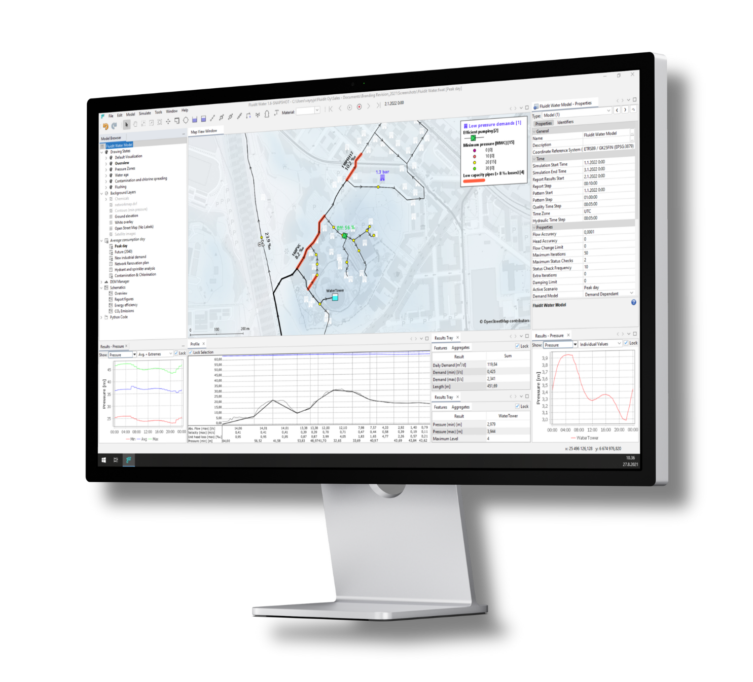
Optimize and calibrate for accuracy
Fluidit’s built-in optimization and calibration routines ensure that your model is always as accurate as possible. By integrating measured data into your model, you can continually improve its accuracy, whether it’s adjusting for real-time data or refining historical performance.
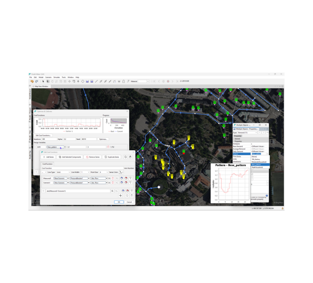
The Fluidit tools allow you to fine-tune your system, ensuring optimal performance under varying conditions. With better accuracy comes better decision-making, reducing costs and improving efficiency across the board.

Upgrade your EPANET and SWMM modeling to the next level
Are you ready to go beyond expectations with Fluidit’s powerful tools? Contact us today to see how our advanced features can help streamline your modeling and improve your system’s performance.
Better analyses with less effort
All Fluidit software share a powerful interface whether you work on water distribution, separate sewer, combined sewer, or stormwater systems. You learn one, you got it for all.
Unlimited background layers
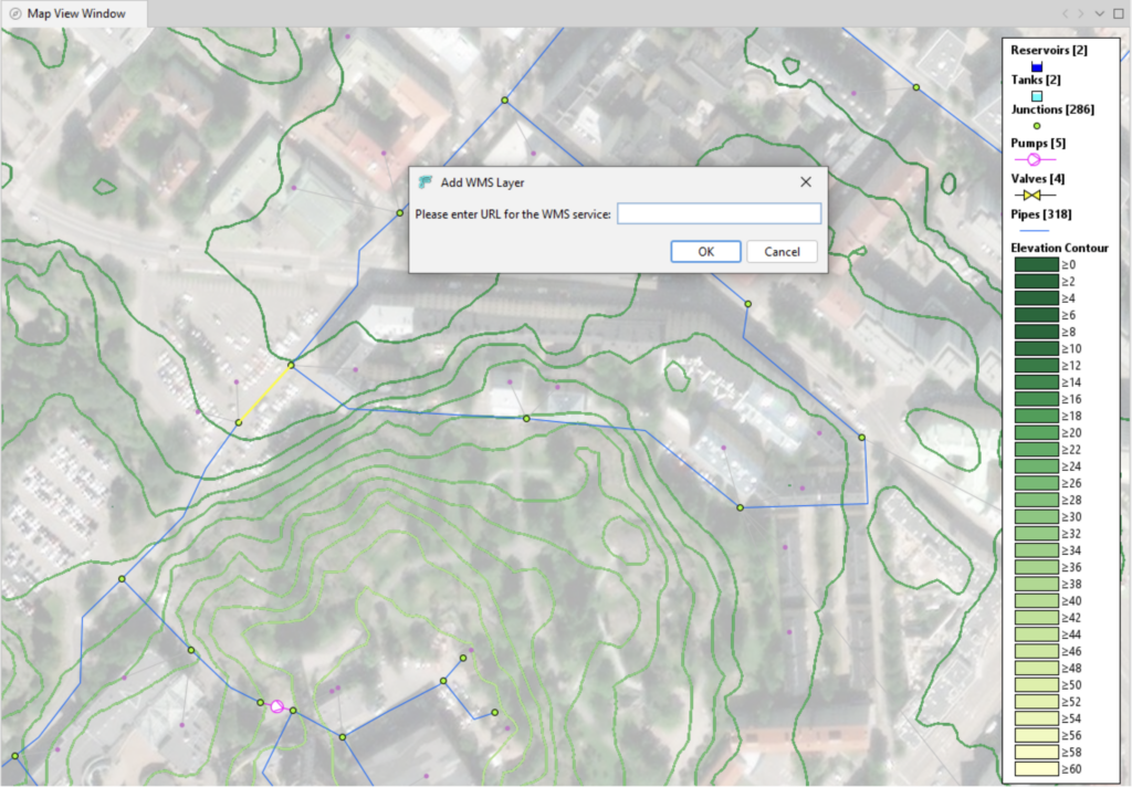
With Fluidit’s EPANET and SWMM upgrades, you can layer multiple background data sources onto your model for a richer, more informed analysis. Whether it’s GIS data, Digital Elevation Models(DEM), WMS layers, or mapping from OpenStreetMap and Bing, you’ll have the context you need to understand every detail of your water distribution or sewer system.
Intuitive interface
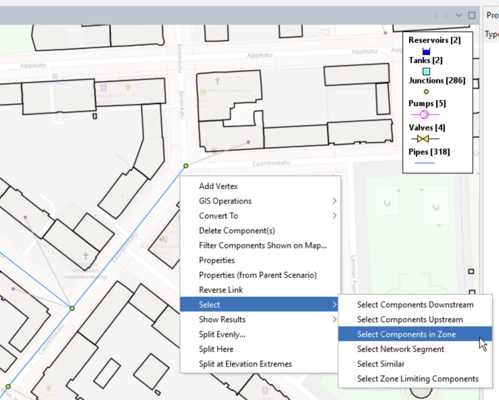
Fluidit enhances EPANET and SWMM with an intuitive interface designed to simplify your workflow. Whether you’re importing data or building complex models, the simple menus and context-sensitive commands make navigation easy. Fluidit’s interface reduces the learning curve and allows users to perform advanced modeling tasks with fewer steps.
Easy import and export of model data
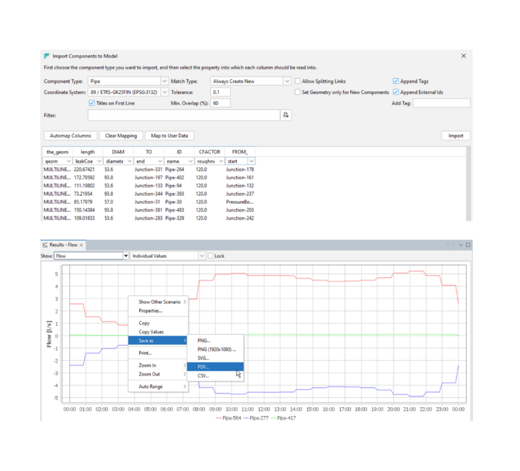
Fluidit makes it easy to import and export your model data, allowing for seamless integration with other systems. You can even drag and drop your EPA file on the Fluidit interface, and the model is ready for you. You can effortlessly share data between platforms, ensuring that you’re always working with up-to-date information across your organization or with external stakeholders.
Infinitely customizable thematic maps
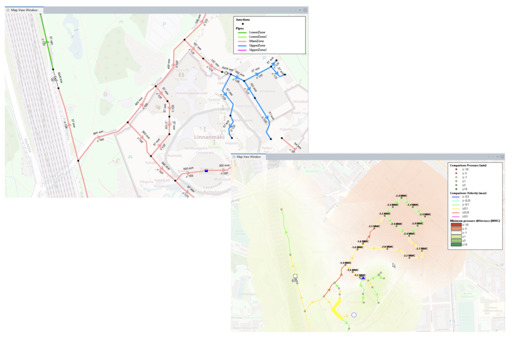
Fluidit’s upgrade lets you create fully customizable thematic maps. Each object in your model can have unique visualization properties, making it easy to highlight specific data points or patterns. You can simply drag and drop different visualization themes onto the map, and the system will instantly adjust to show the information you need.
Unlimited scenarios and advanced comparisons
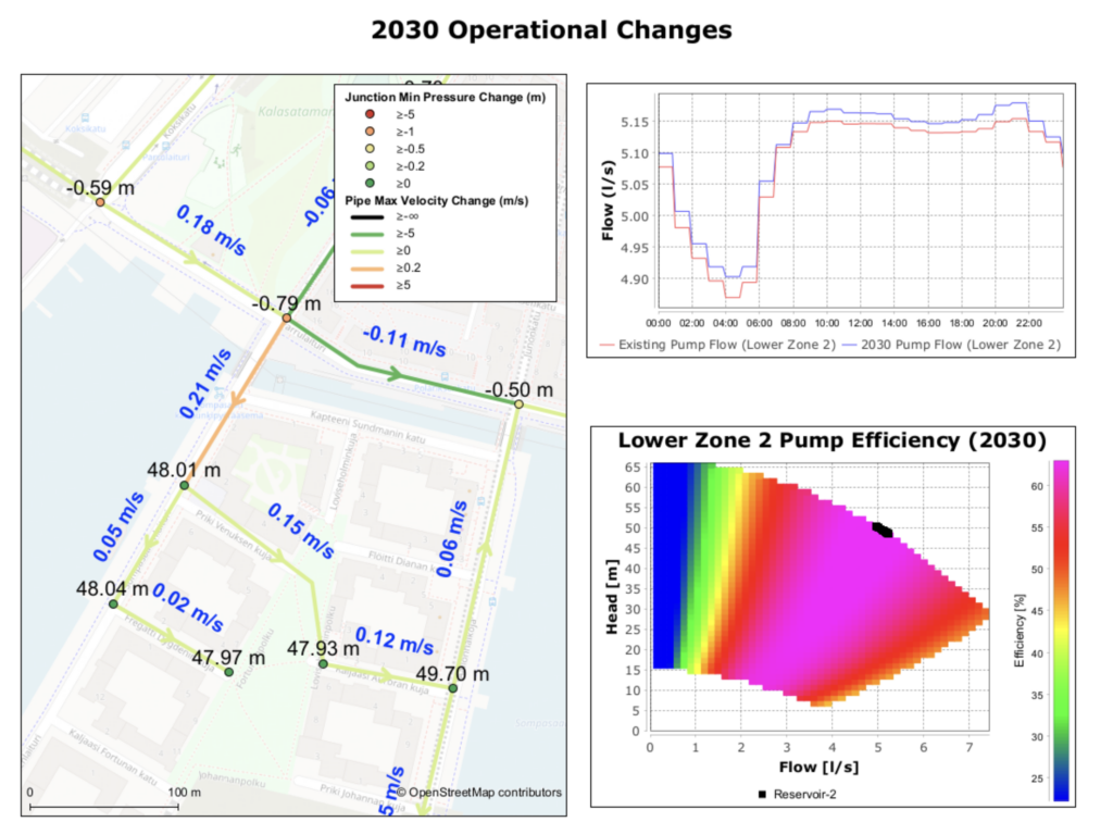
With Fluidit, you can create unlimited ‘what-if’ scenarios in a single model. Test different conditions, such as changes in demand, pipe bursts, or system expansions, and easily compare the results. The results can be viewed through thematic maps, detailed tabular reports, or comprehensive graphs, making it easy to analyze and communicate your findings.
Comprehensive schematic views
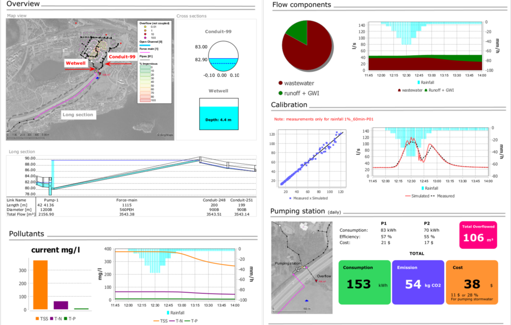
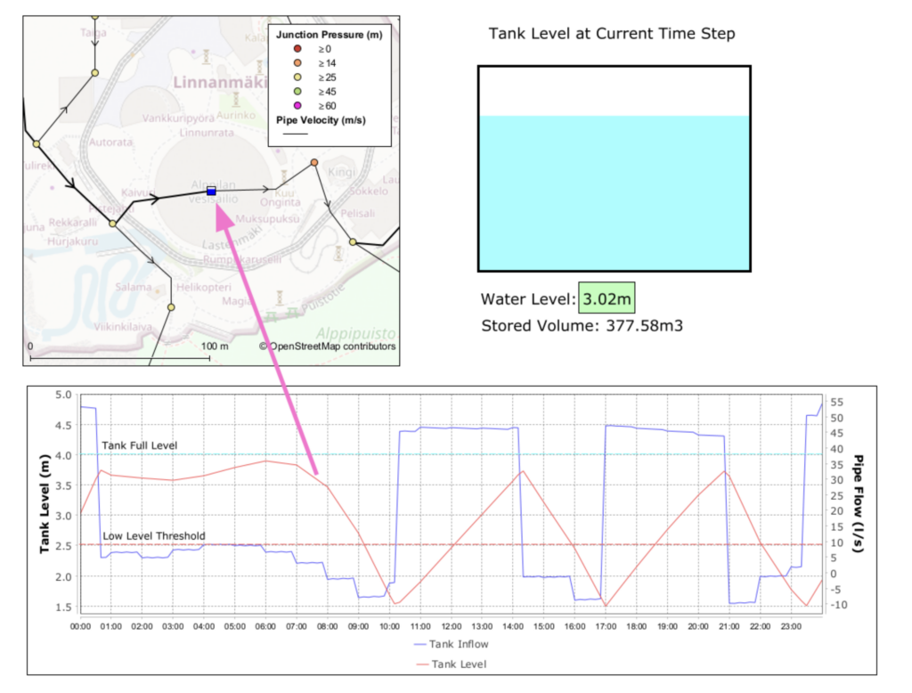
Fluidit’s upgrade introduces schematic views that bring all your model elements together in one display. You can combine maps, calculated values, graphs, text, and even graphics into a single, comprehensive view, allowing for a clear and thorough presentation of your entire system. The schematics are dynamically linked to the model scenarios and results making them powerful live dashboards. Easily share your schematics as images or videos.
Learn more about Fluidit’s EPANET upgrade
Fluidit offers specialized built-in modules that enhance EPANET’s capabilities, giving you the tools to perform in-depth analysis and tackle specific challenges with precision.
Fire flow and hydrant discharge
Analyze fire flow availability and hydrant performance with detailed simulations.
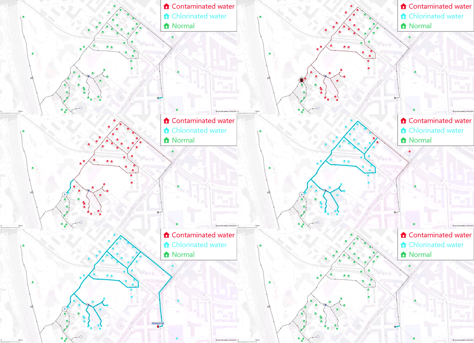
Flushing analysis
Plan and optimize water flushing strategies to maintain system cleanliness.
Pipe burst and leak analysis
Simulate pipe bursts and detect leaks early to minimize damage and water loss.
Real-time operational modeling
Stay ahead of real-time system changes with advanced operational modeling tools.
Prepare for incidents
A safe, uninterrupted water supply is the lifeline of any community. Despite all the precautions, pipe bursts, pumping station failures, and even contamination occur at times. Such emergencies highlight the need to be prepared and have recovery procedures in place. Fluidit Water can help utilities to prepare for all scenarios – no matter how unlikely or difficult.
Learn more about Fluidit’s EPA SWMM upgrade
Advanced pumping station analytics
Enhanced pumping station performance and energy analytics and design tools.
Fully coupled 1D/2D drainage analysis
Analyze how sewer network and surface flows interact with detailed simulations.
Leverage the Digital Elevations Models (DEM)
Use built-in DEM tools to design networks, simulate rain-on-grid, or design overland flow paths.
Real-time operational modeling
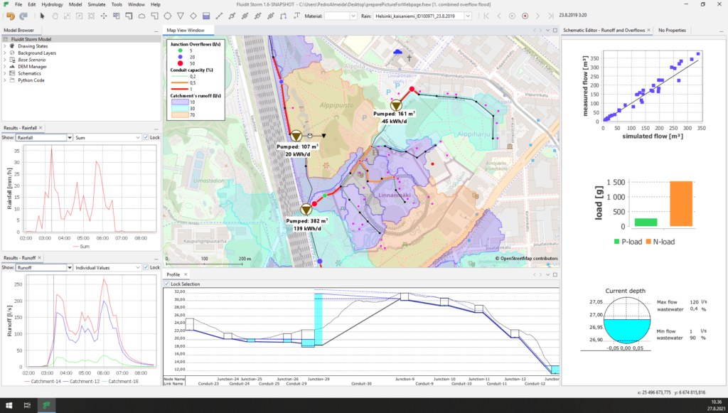
Estimate sewer overflows in real-time with advanced operational modeling tools.
Explore catchment hydrology
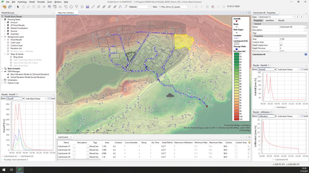
Apply the industry-standard SWMM methodologies for catchment hydrology to perform a robust analysis of the water cycle. Whether it is an urban land-development project, a cloud burst simulation, a long-term hydrological analysis, Fluidit Storm has got you covered.
Analyze stormwater and combined sewer systems
Build, manipulate and analyze stormwater networks in a breeze. The proven SWMM solver ensures feature-rich and reliable 1D simulations for urban networks. Fluidit’s innovative tools save tons of time and make understanding and optimizing stormwater systems creative and fun tasks. The streamlined workflow lets you focus on what matters – finding optimal solutions.
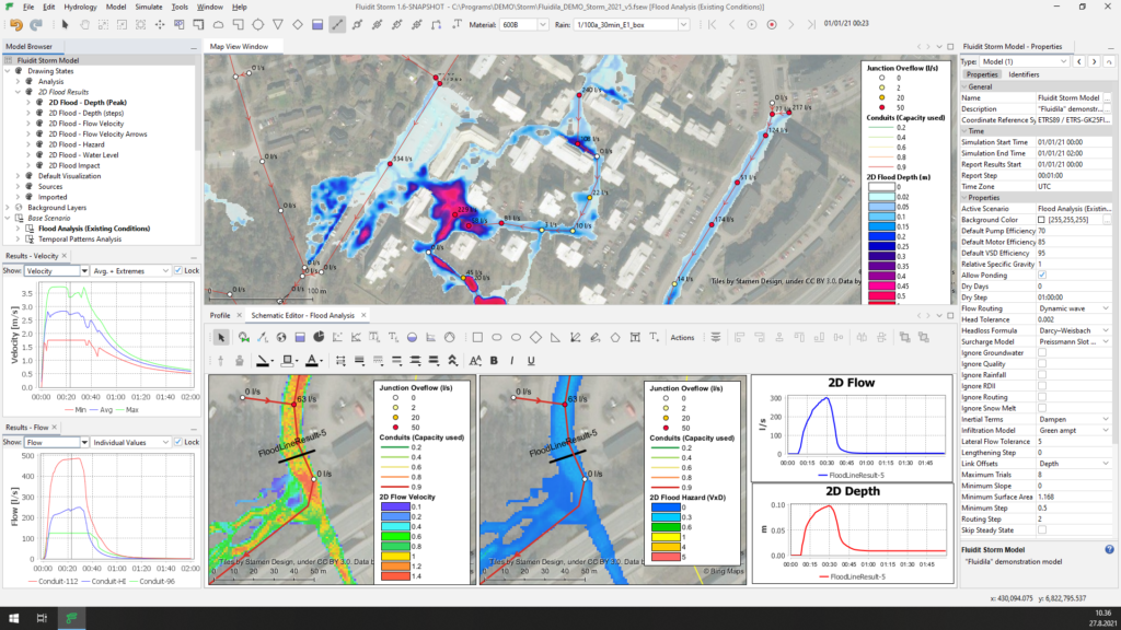
Enjoy ultra-fast 2D flood simulations
Set up and simulate 2D flood simulations with a few clicks in the built-in GIS interface. By taking advantage of the GPU enabled CAFlood simulation engine, the results of 2D simulations can be available in just a few minutes for your automatically updating flood maps.

