
Manage flood risks
Fast, engaging, and analytical. Fluidit Storm is the ultimate simulation software for stormwater systems, catchments, and urban flood analysis.
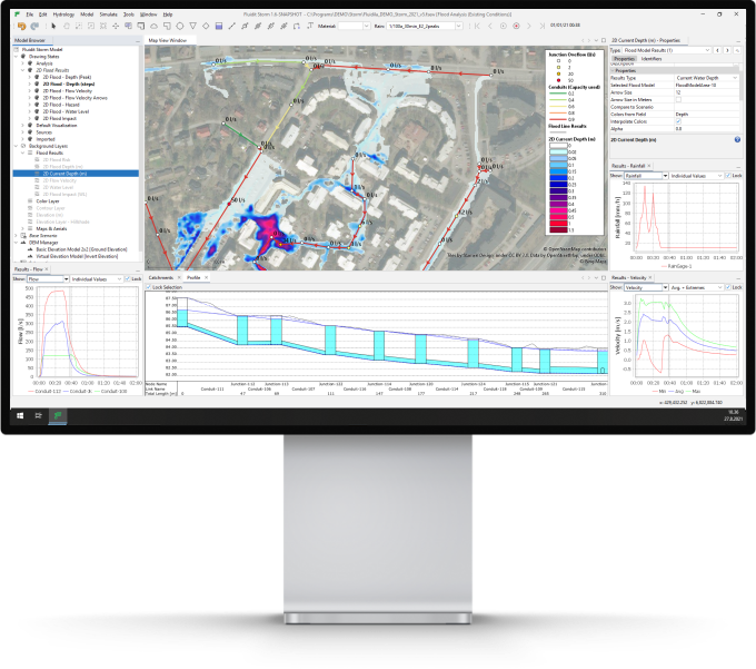
What if you could
Mitigate flood damage?
Urbanization disrupts the natural water cycle as catchments develop, landscapes alter, and flow paths are compromised. Combining these dramatic transformations with climate change poses an unprecedented challenge to societies. Sustainable planning to mitigate the impacts of flash flooding, prolonged dry periods, and water quality degradation has never been more essential for thriving cities.
Hydrological and hydraulic modeling of catchments, stormwater systems, streams, and floodplains provide critical insights into sustainable and safe urban planning. Visually engaging, informative results help all stakeholders understand and develop optimal solutions for the challenges.

Fluidit Storm offers engaging tools for simulating stormwater networks, developing drainage strategies, and analyzing flood risks. It effectively merges the robust SWMM modeling of catchments and 1D networks with ultra-fast CAFlood 2D simulations. Combine this with Fluidit’s intelligent data handling and analytics, powerful scenario tools and dynamic custom visualizations. You can rest assured that you spend your time smarter with Fluidit Storm.
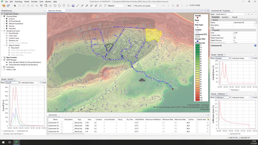
Explore catchment hydrology
Apply the industry-standard SWMM methodologies for catchment hydrology to perform a robust analysis of the water cycle. Whether it is an urban land-development project, a cloud burst simulation, a long-term hydrological analysis, Fluidit Storm has got you covered.
Hydrology
- Use SWMM hydrological methodologies to simulate the rainfall-runoff catchment processes.
- Create detailed catchment models, including impervious and pervious sub-areas with individual characteristics and routing methods.
- Analyze water cycle including groundwater, aquifers, snowmelt and climate settings.
- Develop catchment-wide Green Infrastructure strategies (Low Impact Development, SuDS, WSUD) and optimize their performance and effectiveness.
- Investigate the accumulation and transport of surface pollutants.
GIS-interface
- Import, draw and edit catchments in the built-in GIS interface. Splitting, merging and exporting catchments, among other practical operations, can be done in a snap.
- Easily apply online-based datasets, such as Digital Elevation Models (DEMs), aerial imagery, and base maps to investigate catchments and study areas.
- Create contours from any raster data or DEMs on the fly.
- Edit DEMs by adding elevation polygons that tie into the other surfaces in the model.
- Source point elevation data or measure lengths and areas anywhere in the map space with a few clicks.
- Use the versatile Drawing States to create dynamic, highly visual hydrological maps that are dynamically updated based on any active dataset or selected results in the model.
- Find locations and view your project area with quick access to Google Street View and Bing Bird Eye viewers.
Data and time series
- Automatically fetch climate and precipitation measurements from country-specific open databases.
- Use the Design Storm tool with the powerful time-series editor to create rainfall time series for different scenarios and return periods.
Analyze stormwater and combined sewer systems
Build, manipulate and analyze stormwater networks in a breeze. The proven SWMM solver ensures feature-rich and reliable 1D simulations for urban networks. Fluidit’s innovative tools save tons of time and make understanding and optimizing stormwater systems creative and fun tasks. The streamlined workflow lets you focus on what matters – finding optimal solutions.
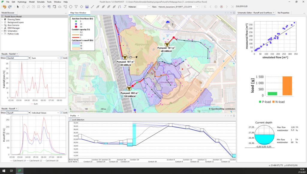
Hydraulic design & analysis
- Analyze the flow characteristics and the capacity of stormwater and combined sewer networks.
- Identify and quantify network overflows.
- Design pit and pipe drainage systems, including various flow control structures.
- Design stormwater detention ponds and source stage-storage curves directly from the Digital Elevation Models.
- Choose optimal pipe configurations and develop overflow mitigation strategies by comparing an unlimited number of scenarios and child scenarios.
- Design, control, and analyze pumps and control devices for optimal energy consumption.
- Quantify and locate pollutants in the channel or pipe network.
- Model open channels and urban streams with the SWMM 1D solver or do it in the 2D domain.
- Couple 1D and 2D simulations to estimate the impact of floods caused by overflows.
GIS-interface
- Import, draw, edit and export network data in the built-in GIS interface.
- Use powerful bulk editing tools to update and modify data.
- You can apply ground elevation data from DEMs directly to Junctions to ensure a flush connection with the ground surface, critical in flood analysis.
- Create virtual elevations models that emulate invert levels enabling quick model building even with limited data.
- Use the Drawing States to quickly create insightful network maps that dynamically update based on any active dataset or selected results in the model.
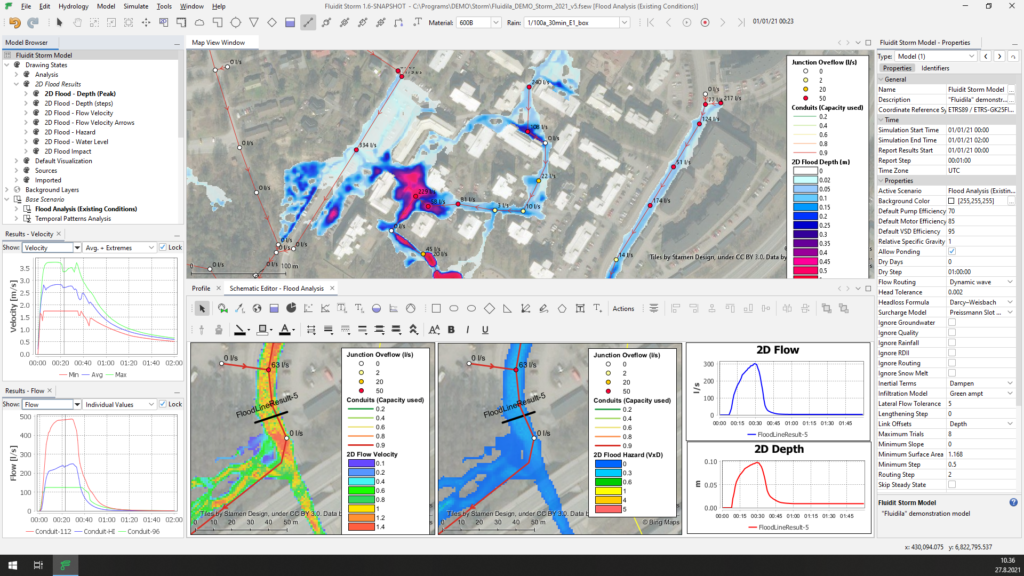
Enjoy ultra-fast 2D flood simulations
Set up and simulate 2D flood simulations with a few clicks in the built-in GIS interface. By taking advantage of the GPU enabled CAFlood simulation engine, the results of 2D simulations can be available in just a few minutes for your automatically updating flood maps.
Surface flow analysis
- Speed up your 2D surface flow analysis with Fluidit’s enhanced simulation environment and CAFlood AI-based modeling engine.
- Map 2D flow results, such as flood elevations, depths, flow velocities and volumes.
- Analyze and map flood hazards (VxD) to assess the likelihood of damage to property and people.
- Add Flood Result Point or Lines to record surface flows results as time series in critical locations.
- Use spacially varying hydraulic roughness for more realistic surface flows.
Methodologies
- Perform integrated catchment modeling by easily linking the SWMM catchment hydrology and 1D pipe network to the 2D surface flow modeling. Perfect for detailed analysis of network capacity, localized overflows and urban flooding.
- Simulate standalone 2D surface flow applying direct rainfall on the ground surface (DEM). This method lets you perform quick surface flow path analysis even without a pipe network.
- Apply the comprehensive SWMM catchment hydrology as input onto the 2D surface. This method is practical for generating inflow hydrographs for the 2D analysis of streams and creeks.
- Benefit from an unlimited number of 2D modeling domains within one model file.
- Simulations use graphics card GPU and variable timestep for high performance.
GIS-interface
- Visualize flood results directly in the built-in GIS modeling environment.
- Quickly analyze maximum flood results or use timestep results to create animations.
- Export 2D flood results as rasters for use in other software.
- Use the built-in Digital Elevation Model (DEM) manager to construct the ultimate ground surface for 2D simulations from various files or online data sources.
- Edit DEMs on the fly to modify embankments, cut channels or level sites.
- Automatically source buildings from Open Street Map and apply them as a blockage to surface flow or create porous structures to allow water ingress.
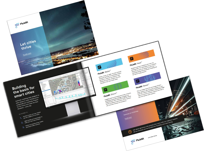
Download PDF brochure
“Collaboration with Fluidit has been smooth and productive. HSY now has an efficient combined sewer network model for holistic network analysis and planning. We are looking forward to teaming up with Fluidit to push the model even further and continue building capacity at HSY.”

Leena Sänkiaho
Development Engineer, Wastewater Treatment, Helsinki Region Environmental Services HSY
Fluidit Storm
“I see many advantages in the software. For example: easy data transfer from other systems, powerful Digital Elevation Model (DEM) tools, and the in-built GIS that eliminates the need to switch between systems.”
Michal Oktawiec
Engineer and Hydrodynamic Modeler at RetencjaPL
Fluidit Storm

Find the right plan for you
We offer simple licencing solutions and bundles tailored to your needs. All our licenses are unlimited in model size, number of components and features. Use our floating network licenses to maximize flexibility in your organization.

